Sentinel - Test Server
Sentinel - Test Server
Sentinel - Test Server
Sentinel - Test Server
Sentinel - Test Server
Changes for Sentinel in the latest update.
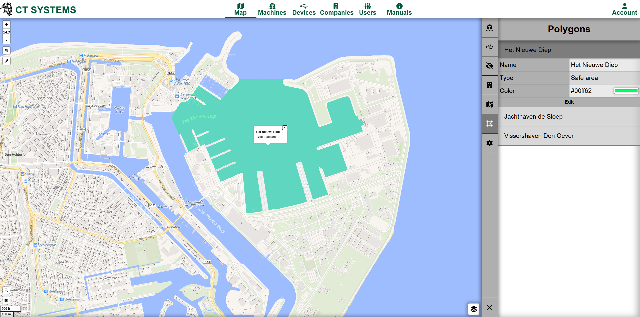
Users can now directly input and adjust polygon coordinates via a list interface. This gives precise control over geofencing areas beyond drawing tools.
Tracking is more flexible with selectable date ranges and a cleaner UI in machine/device views. This makes historical analysis and navigation significantly easier.
Charts now support configurable minimum and maximum lines per dataset. Useful for quickly spotting outliers or enforcing operational boundaries.
Performance improvements reduce delays in live data and historical queries through smarter caching and batching. Users experience faster dashboards and less lag.
Track data is now loaded in batches when using date ranges. This improves responsiveness when viewing large datasets over longer periods.
Datetime inputs have been replaced with a range picker, simplifying how users select and adjust time intervals for charts and tracking.
Tracking now follows the selected machine/device instead of the cursor, making monitoring more intuitive and consistent.
Deleting a polygon now also removes its associated listeners, preventing leftover triggers or unexpected behavior.
Published: 26-03-2026 11:02 | Updated: 09-04-2026 12:14
